Morgantown, PA.
Weeks ago I scouted out this park, via the Internet, as a possible place to go do some running. My fiancé and I were down this way visiting a friend in Lancaster. Three days of a mini vacation in a really cute little city, but vacation or not I needed to stick to my training schedule. Pennsylvania being farther south than MA, I had hoped there would be less snow on the trails—because running through snow just takes the life out of you.
Saturday morning, after hanging out with friends, I headed out into the rural areas of PA. I passed through a number of small farming towns, saw some Amish horse and buggies, and a lot of worry-free/stress-free drivers. I always forget how much calmer and nicer people can be once out of the vortex of Massachusetts. Even walking through the streets of Lancaster, when seeing people I would normally consider to be somewhat questionable, were super nice and smiling. This was a welcome change to my obvious stereotyping behavior.
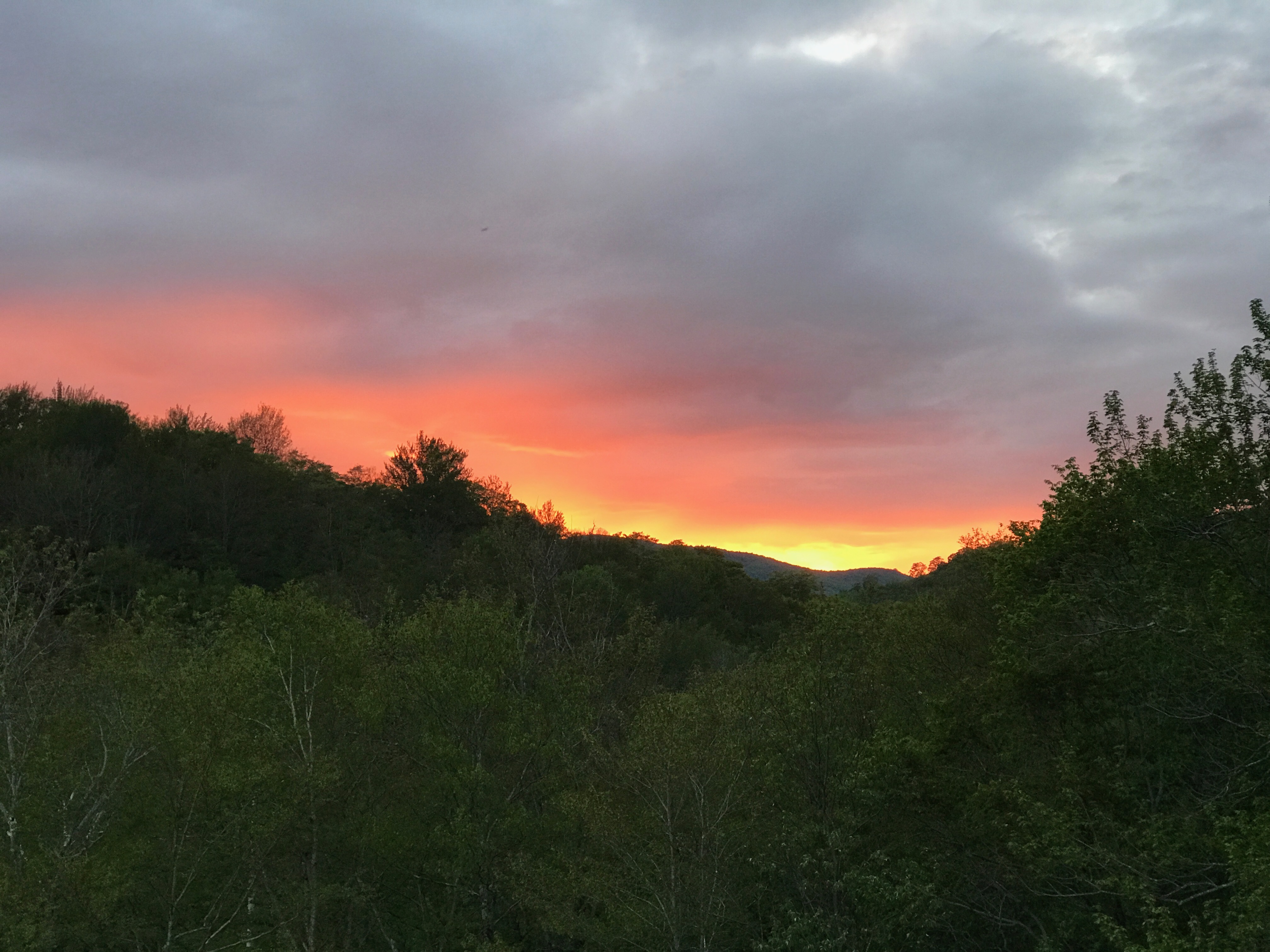
Arriving at French Creek State Park, I parked at the first small parking area I saw, the West Entrance. I had a map on my phone and iPad, both of which came with me. The weather was an exceptionally nice 53 degrees, and very light wind. I started up the Boone trail, expecting to soon find the trail junction where Boone and Turtle split, but as I would come to find out, trail junctions are not French Creek’s specialty. So I continued traversing the Turtle trail for a bit before realizing that I had missed said junction. While I didn’t plan to do this trail, it wasn’t really a problem–except for visibility. This trail went through an area of the park where hunting was permitted, and I wasn’t the most visible to hunters. Thus a slight costume modification was necessary, I removed the orange bandana that had been on the back of my pack, and tied it around my head. Figuring that having the 360° view of the orange fabric was better than just being on my back. I had never run with a bandana, but I have to say I loved it!
Onwards on Turtle Trail. There weren’t any leaves on trees, but the forest was still quite beautiful. Looked much like stick season, except the ground wasn’t frozen–I guess this is mud season. At the far corner of Turtle Trail, before it turned up towards the Hopewell fire tower, there was a large section of snow. Very cold on the feet, but easy and fun to plow through.
At several times during this run I stopped to take in my surroundings. On previous long trail outings with friends, there’s always at least 3 of us, and we had radios in case we became separated or had trouble. This time though I was solo, and while I am comfortable traversing the woods on my own, with the tools of maps and a compass, I still stopped frequently to have a look around. Generally I’m looking to see if there are any bears or other wildlife, or if I can see hunters. While solo running, I also tend to be vocal in the woods–mainly by coughing out loud. This is my way of being known to anyone who may be around, seen or unseen. Perhaps I should start yodeling instead–to add some music into the environment rather than a coarse throaty voice.
Upon reaching the fire tower, which can’t be accessed by the public, I continued down the hillside. I passed several small groups of people hiking and some walking their dogs. It was nice to see that many dog owners were responsible and kept their dogs on leash. My plan was to follow the path, down to the Sixpenny trail. The Sixpenny went down around the base of a hill, and then shot up the slope. There’s a point where another trail breaks off and runs near parallel to the Sixpenny Trail–the Kalmia Trail. While I didn’t take that route, I quickly understood the significance of the trail name. One of the few areas of the park where there was green was in this section, where many Kalmia and Mountain Laurel shrubs were actively growing. I had to stop several times to soak in the greenery. After a time, I came to an old parking lot, and no more trail markers. I walked a bit at this point trying to figure out where I had gone wrong. Consulting my map, and the GPS track of the route I had taken, I was able to track back to a point where the Sixpenny trail had taken a sharp turn. On this corrected route I started up the hillside and came across a pack of hikers, 17-20 of them. They had full large backpacks on, most had poles and hydration packs as well. One thing I was dreading was having to say, “excuse me,” to every single person going up this trail, but turns out I didn’t have to. A creek comes down this hillside, and the trail snaked around it, switchbacking up the hill. As the hikers started their ascent along the switchbacks, I booked it up the creek bed. I wasn’t actually trying to show anyone up, but it did feel great doing it!
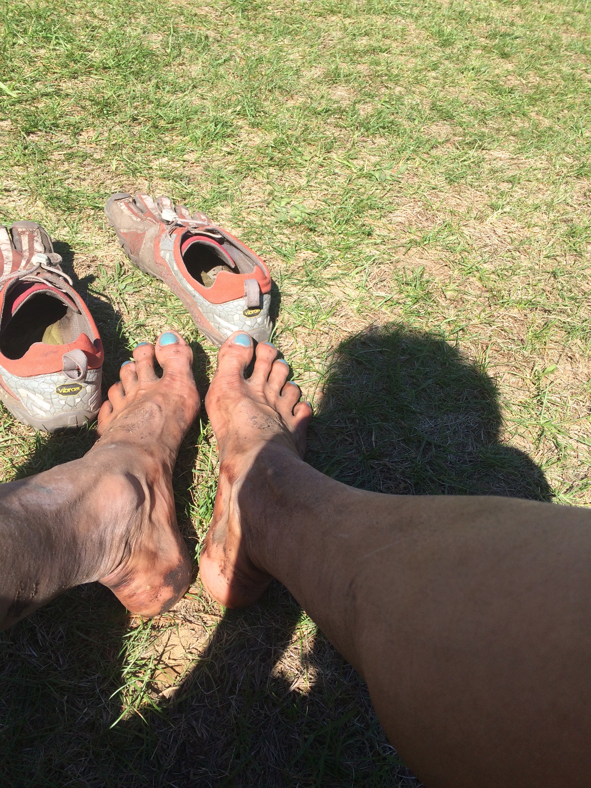
After getting over the hill, I proceeded down towards the campground area, by this point the effects of mud season had gotten into my Vibrams, and were making my feet uncomfortable. But figuring I only had another five or six kilometers left, I opted to stow the shoes, and run barefoot. I continued through the campground, and got lost once again. The trail markers had completely disappeared. But I continued on a course that seemed to take me in the right direction. Eventually, I found an obvious path, and ran past the campground. At the end of this path, I found the large group of hikers again–not sure which trail they used to get in front of me, but it was really no matter, they headed in a direction different to my own.
I was to continue down Boone trail until I reached Hopewell Lake, and then back out to the West Entrance. Boone Trail was suppose to lead me to a hiking path, but instead I found myself at the Lake’s edge. At this point I had no idea where to go. The marked trail ended at the lake. While I could just go back the way I came, I instead decided that taking a path along the edge of the lake would be more scenic. Scenic and muddy as I came to find out, but I enjoyed every minute of the improvised route.
I finally made it over to the road, and ran along it for awhile. Had a thought to take another one mile trip through the trails, but decided that the day was getting short, and opted to head straight back to the car.
The day had been a long one, scenic, very muddy, and a little confusing at times. No one shot at me, even though I heard gunshots in the distance, and I traversed 20 km, my intended amount. All of the stopping to take in my surroundings, as well as picture taking, and figuring out where the heck I was, added time to my overall day. I ended up doing 20 min/mile pace, but probably averaged closer to 11 min/mile on the parts where I was running and walking.
My attire had gone from a T-shirt, no bandana, and Vibrams, down to a bandana, sports bra, and no shoes.
Gear:
Camelbak Octane
UA compression tights
Champion sports bra
Davis Square Runners T-shirt
Vibram Spyridons
Orange bandana.
20.7 km
4h 3m
578 meter ascent